Starkey

Starkey Trail Interpretive Map

Park Sign Post 1 Post 2 Post 3 Post 4 Post 5 Post 6 Post 7 Post 8 Post 9 Post 10 Post 11 Post 12 Post 13 
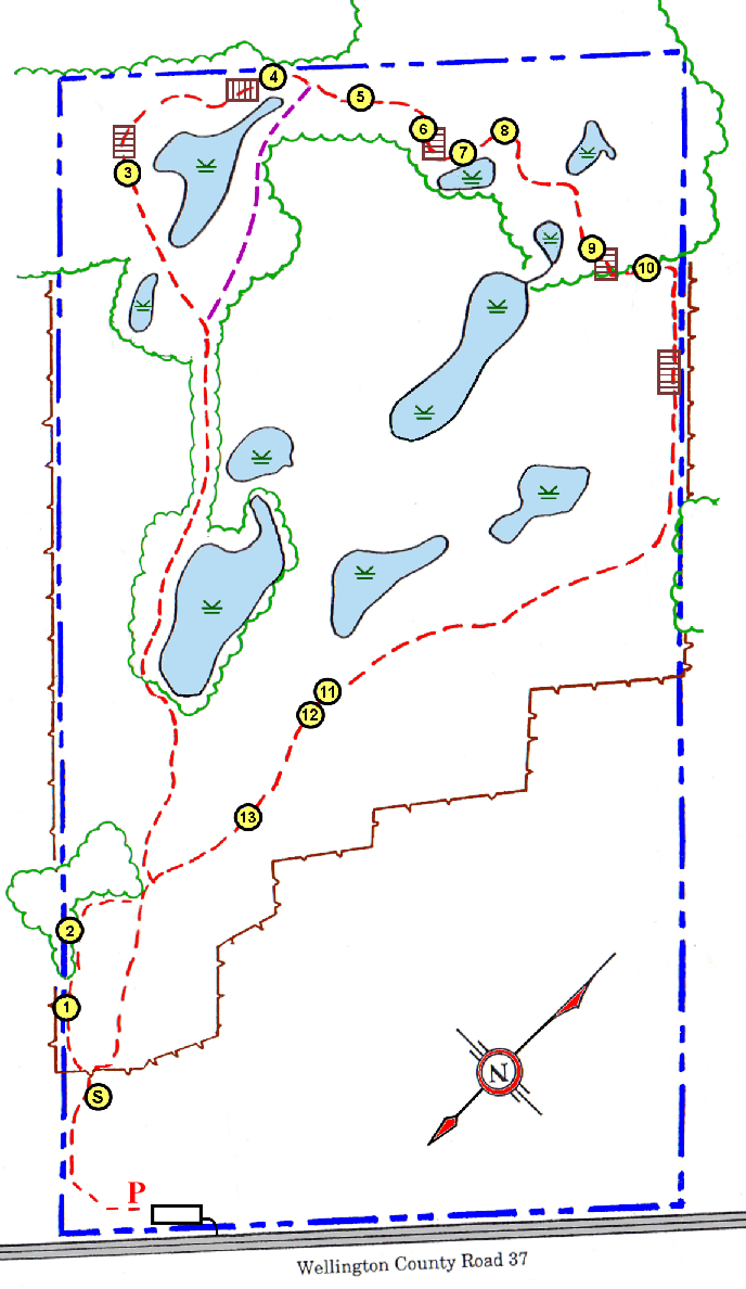
This is a map of the Starkeys' Loop Trail. There are several points of interest, marked with posts with QR code signs. Click the numbers on the map to see more information on them.

Map Key:

Main Trail
Shortcut
Interpretive
QR Post
Bridge
Water/Swamp
Border

Sample QR code


Privacy Policy

Guelph Hiking Trail Club is a charitable organization Registration#11894 9395

PO Box 1, Guelph, ON, N1H 6J6 


Powered by Wild Apricot Membership Software